GLIMS: Global Land Ice Measurements from Space
Monitoring the World's Changing Glaciers
|
NEW: The GLIMS Glacier Outline submissions are now on GitHub. Refer to the GLIMS Submission Documentation GLIMS is a community-driven initiative to monitor the world's glaciers using optical satellite remote sensing, aerial imagery and historical maps. The GLIMS Glacier Database is a global archive of glacier outlines, and other glacier features, for different points in time. GLIMS outlines can be downloaded from the Data Access page. A related dataset is the Randolph Glacier Inventory (RGI): a carefully selected, globally complete reference inventory. You can learn more about RGI and download it here. 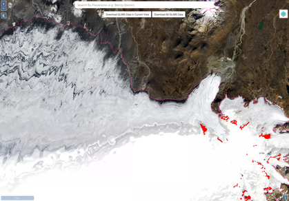

Over 60 institutions across the globe are involved in GLIMS. General coordination, technical development, and data management are done at NSIDC in Boulder, Colorado, USA. "Glim" is an archaic Scottish term that means "a passing look; a glimpse; as much as is seen at a glance." In a future historical perspective, we may well look back on GLIMS and other early-21st Century remote-sensing of Earth's glaciers as a glim of a passing or changing phenomenon. |